Difference between revisions of "File:2012 detail.jpg"
[http://www.nga.gov/content/ngaweb/research/casva/research-projects.html A Project of the National Gallery of Art, Center for Advanced Study in the Visual Arts ]
C-tompkins (talk | contribs) m (C-tompkins moved page File:2012-detail.jpg to File:2012 detail.jpg) |
C-tompkins (talk | contribs) |
||
| Line 1: | Line 1: | ||
| + | |||
| + | Lewis Evans, ''A Map of Pensilvania, New-Jersey, New-York, and the Three Delaware Counties'' [detail], 1749, hand colored engraving, 25 1/2 x 19 1/3 in. (65 x 49 cm). Geography and Map Division, Library of Congress, Washington, D.C. | ||
Latest revision as of 14:16, February 24, 2016
Lewis Evans, A Map of Pensilvania, New-Jersey, New-York, and the Three Delaware Counties [detail], 1749, hand colored engraving, 25 1/2 x 19 1/3 in. (65 x 49 cm). Geography and Map Division, Library of Congress, Washington, D.C.
File history
Click on a date/time to view the file as it appeared at that time.
| Date/Time | Thumbnail | Dimensions | User | Comment | |
|---|---|---|---|---|---|
| current | 20:30, July 7, 2015 | 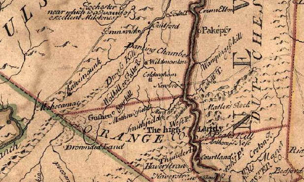 | 617 × 370 (119 KB) | R-Asleson (talk | contribs) | |
| 20:01, July 7, 2015 | 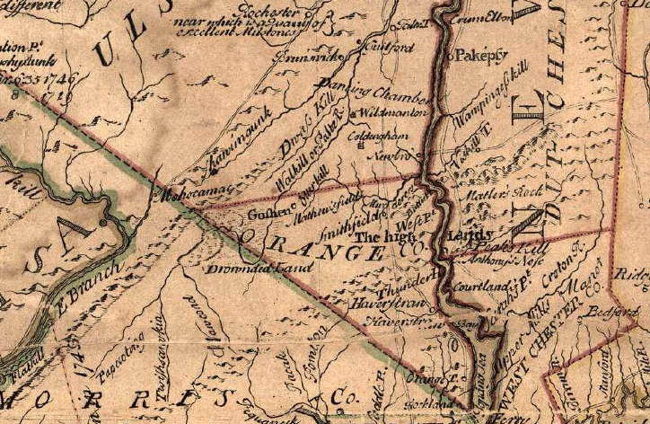 | 724 × 472 (164 KB) | R-Asleson (talk | contribs) |
You cannot overwrite this file.
File usage
The following 4 pages use this file:
- Cadwallader Colden
- File:2012-detail.jpg (file redirect)
- File:2012-detail.jpg (file redirect)