File:2230.jpg
Original file (806 × 560 pixels, file size: 415 KB, MIME type: image/jpeg)
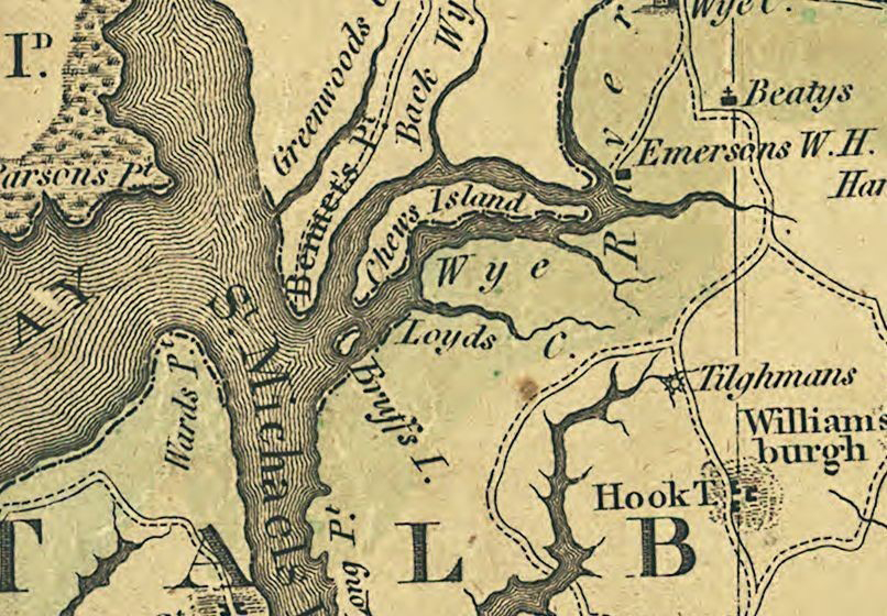
Dennis Griffith, Map of the State of Maryland laid down from an actual survey of all the principal waters, public roads, and divisions of the counties therein; describing the situation of the cities, towns, villages, houses of worship and other public buildings, furnaces, forges, mills, and other remarkable places; and of the Federal Territory; as also a sketch of the State of Delaware shewing the probable connexion of the Chesapeake and Delaware Bays, ca. 1794 [detail]. Library of Congress, Geography and Map Division, Washington, DC.
File history
Click on a date/time to view the file as it appeared at that time.
| Date/Time | Thumbnail | Dimensions | User | Comment | |
|---|---|---|---|---|---|
| current | 16:11, December 27, 2019 | | 806 × 560 (415 KB) | A-Whitlock (talk | contribs) |
You cannot overwrite this file.
File usage
The following page uses this file: